GophersInIowa
Well-known member
- Joined
- Nov 21, 2008
- Messages
- 46,903
- Reaction score
- 31,418
- Points
- 113
Probably very unlikely
@GopherWeatherGuy Any signs of some colder weather? Looks like we get a day or two but then back to above average temps.
Great we really need it!Eastern MN through all of IA and WI should see 2-4"+ of rain over the next 10 days.
Looks like changes in the pattern finally coming next week @GopherWeatherGuy? Cold weather specifically.
Can you make the following months a repeat of last winter? I can throw in some Gopher basketball tickets to make it worth your while...I thought that was going to be the case until this afternoons Euro run. Now it's back to 40s and rain next week. Long range forecasts are nearly impossible this time of the year. The cold air is closer than it has been, but we'll see if it makes it down here next week. I just need this weekend to finish yard chores, then I'm ready for the snow.
We're going to have a below average month soon and I really think it's going to be December. I just need to see it before I believe it.
Can you make the following months a repeat of last winter? I can throw in some Gopher basketball tickets to make it worth your while...
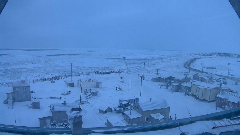
Barrow is a popular vacation spot for fang bangers this time of year.
Tyler Roney (@tylerjroney.bsky.social)
The sun set in Utqiagvik, Alaska (formerly Barrow) at 1:27 PM local time. The sun will not rise again until January 22nd, 2025 at 1:15 PM and will only be up for 48 minutes.bsky.app

Ice fishermen like me thank you for the wonderful news but the sleds laugh at me in the garage.We're going to build a lot of ice on the lakes over the next few weeks, but there's not much for snow in the forecast.
This is a pretty classic La Nina pattern, so I think we'll start getting regular clippers to add a few inches of snow at a time, but not likely until the 2nd week of December.
I was in the UP one winter when we had over 300 inches inches of snow, in the the town I lived in.Last night's game in Cleveland was fun with the lake effect snow coming down. Still one of my life goals is to witness one of those major lake effect events.
Looks like winter has arrived.
View attachment 34769
I have a dumb question for you. We see "lake enhanced snow" here in WI near Lake Michigan and up in the arrowhead of MN a lot early in winter. How does that work when the snow is coming from west to east?Finally a real storm. 4-7" seems likely across most of the metro, and I think a few spots may see 8" or 9".

I have a dumb question for you. We see "lake enhanced snow" here in WI near Lake Michigan and up in the arrowhead of MN a lot early in winter. How does that work when the snow is coming from west to east?
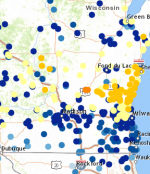
Like below is from yesterday and last night. The snow was coming from west to east but there's clearly lake enhancement totals near Lake Michigan. Is it because moisture from the lake is able to make it's way west?
I've always been confused by this because true lake effect is created over a lake like we see around Buffalo.
View attachment 35106
Ah, that makes sense. Thanks for the explanation.The overall storm is moving west to east, but the low level winds still rotate counter clockwise around the low pressure system.
Lake effect snow happens in MN/WI win surface winds are out of the E/NE on the northeast side of the low pressure system, with the heavier snow reports on on the west side of the lake.
In areas like Buffalo where they lie to the east of the lake, their lake effect occurs behind a strong cold front where surface winds across the lake are out of the W/NW.
It's all about the direction of the surface winds across the lake. The longer the fetch of cold air across a warm lake, the heavier the snow will be.
I actually welcome the respite from the relentless fog since Christmas night here in the Twin Cities.Really cold with no snow is the worst.
I'm on a hike right now. The grass on the golf course is still green. It's weird. People sking right next to green grass. Winter doesn't make sense anymore.Really cold with no snow is the worst.
It's been wild. I was excited to bring my young girls out to ice fish over Christmas in my dad's big house but of course we had to take it off due to all the water. That warm weather couldn't have occurred at a worse possible time.I'm on a hike right now. The grass on the golf course is still green. It's weird. People sking right next to green grass. Winter doesn't make sense anymore.
